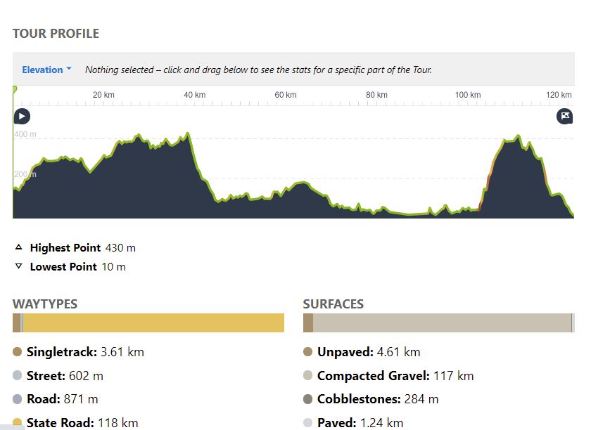
123 km Uphill 1,520 m; Downhill 1,660 m
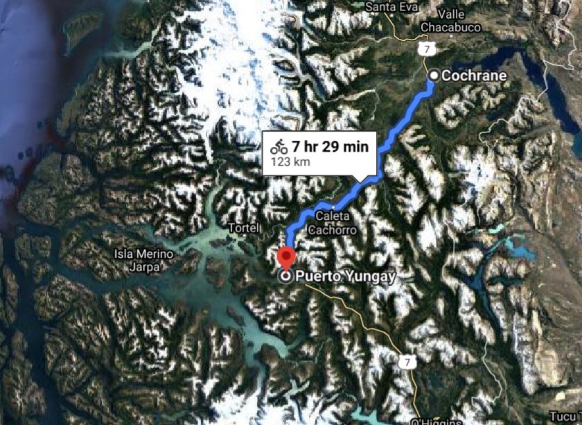
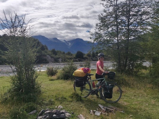
On Saturday the 29th of February 2020, we loaded up our bikes with 6 days’ worth of food, and bid farewell to the Chileans, Pablo and Marianne, who set off south just before us, and the Australian and German cyclists, who were waiting another few days, as well as the two furry little sheep. Bicycle Patagonia had rated this route”gnarly”. Knowing that 230 km and 3000 metres ascent on very rough roads lay between us and the next place of habitation, it was with some trepidation that we mounted our bicycles and set off south, towards Puerto Yungay and Villa O’Higgins. We had heard that ferries from Villa O’Higgins would run only on Wednesday and Saturday. Thinking it impossible to do the route in 4 days, we planned on taking the Saturday ferry. The current forecast was for heavy rain, sleet and even snow in O’Higgins on Thursday and Friday, but we hoped that by Saturday the weather would be clear enough to sail.
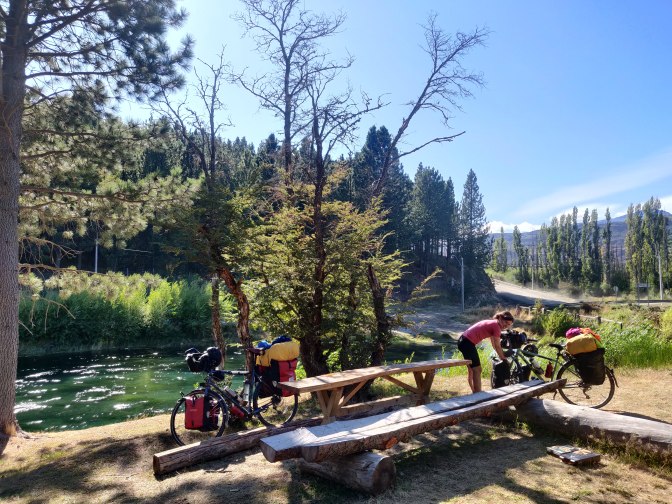
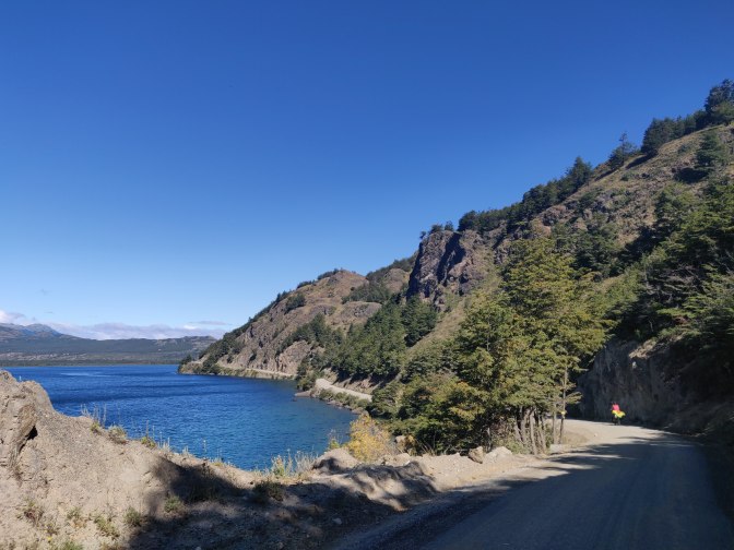
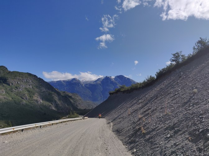
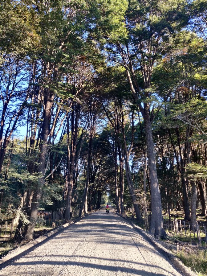
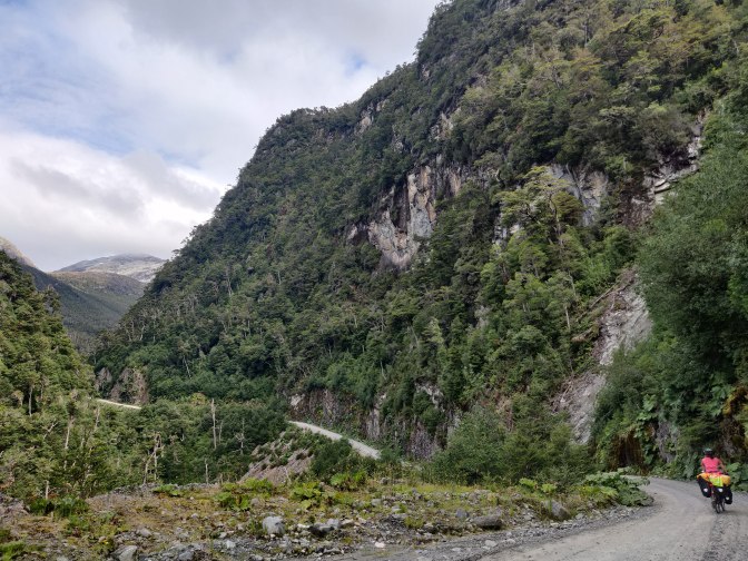
Ruta 7 immediately began to climb up away from Cochrane to the south under clear blue skies. Despite 250m of ascent, the hill passed relatively quickly, and we arrived at Laguna Esmeralda feeling quite pleased with ourselves. We traversed the northwest shore gently up and down before descending a little into the Rio del Salto river valley. The road crossed this river at a narrow gorge with water gushing through at an incredible rate.

It was then another ripio climb gently uphill southwest through beautiful wood pasture as we passed Lagos Juncal and Chacabuco off to the right. Laguna Larga marked the high point of the day and from here we plateaued west before descending steeply down switchbacks into the Rio Barrancoso valley. Robbie’s right index finger was still giving him some pain, which made the downhill braking on ripio a challenge, but the better angled handlebars were helping and we made it down in one piece.

We continued southwest down the powder grey river, passing a solo female cyclist going the other way. She asked us if there were any water sources up the hill and how bad it was to climb. We said honestly it wasn’t going to be easy this late in the day, but she was undeterred and ploughed on regardless. 4km after we joined the river, the road turned abruptly south along a wide open valley. At the turning was one of the potential wild camp spots for tonight and we saw a couple of tents settled in for the night. It being 5pm with plenty of light left and a few more options down the valley, we decided to pass this one by and carry on. Little did we know, it would be a tough evening ahead.
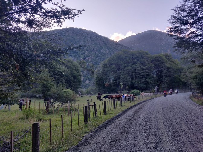
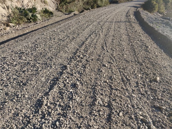
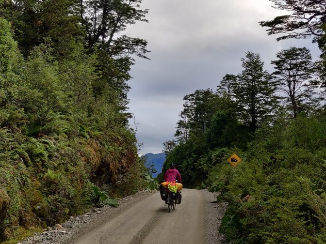
As the sun lowered over the scrubby fields, we continued south towards camp spot option two. The ripio worsened steadily with loose gravel and rocks becoming the norm. As we approached the spot on iOverlander we heard growing sounds of dogs barking, men shouting and cows lowing. Rounding the corner, a family of gauchos was sorting cattle in apparent chaos right in the middle of the potential camp field. We decided against trying to pitch a tent in the midst of this and pushed on into the evening. We had another option in 10km, so there was no need to panic, even though it was now 6.45pm.
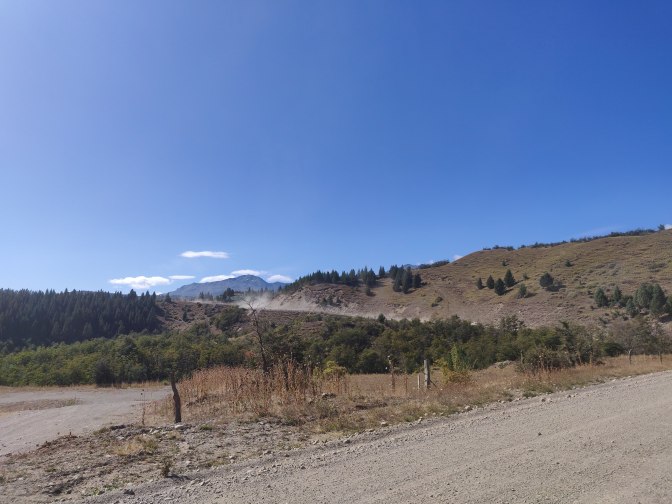
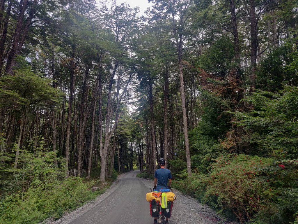
The road turned southeast and deteriorated still further. It was now so loose and rocky that even up quite gentle hillocks we found progress utterly impossible and were walking our bikes at frequent intervals, hearts pounding and panting heavily. We crossed Puente Nadis and turned west once more alongside beautiful shallow reed lakes, but the going was awful. At long last we climbed a small hill above what we thought was a camp spot and heard shouts of ‘Hola!’ from down to our right. Robbie thought he saw Pablo from the Cochrane campsite and we wheeled our bikes down a short but steep track to a grassy hollow. It turned out not to be Pablo, but a young Chilean guy who had passed us earlier. The spot was full of flies with cow pats everywhere, but exhausted, we decided to get the tent out.
Just as we had unrolled the fly sheet, a man appeared on horseback from the bushes with two dogs, and spoke to the Chilean youth in Spanish. While he wasn’t angry, it was plain we couldn’t stay here, and he pointed down the road to indicate where we should go. Dismayed and worried, we hurriedly packed up our bikes once more and helped each other push them up the steep track with all our remaining strength. We carried on down the road, the next site being in another 3 km. After more pushing and sweating, we finally arrived at the turn off, where we had to walk around a gate, down a track and across 500 metres of river gravels to the site marked as ‘Paradise 2’ on iOverlander. It was on a little grassy knoll surrounded by bushes well above the gravels and nicely hidden from the road.

We arrived just before dark and determined to stop here no matter what. Robbie went to fetch water from the river whilst Hannah set up the stove. We ate, barely conscious of our surroundings, before collapsing into the tent with enormous relief. What a day! We had covered more than 60km along the hardest terrain yet, with a big climb early on. But we both wondered how on earth we would make it to Villa O’Higgins if the road stayed as it had just been.
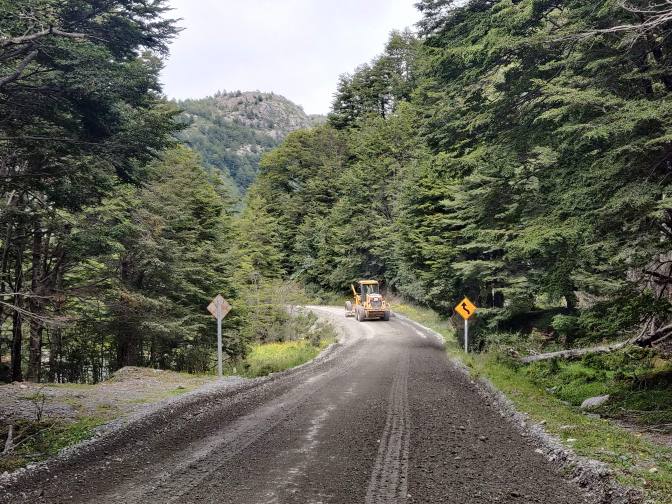
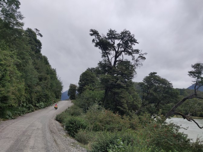
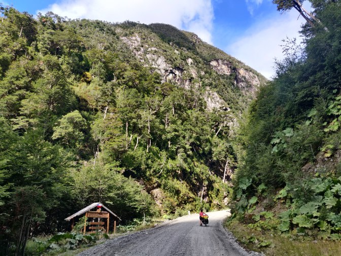
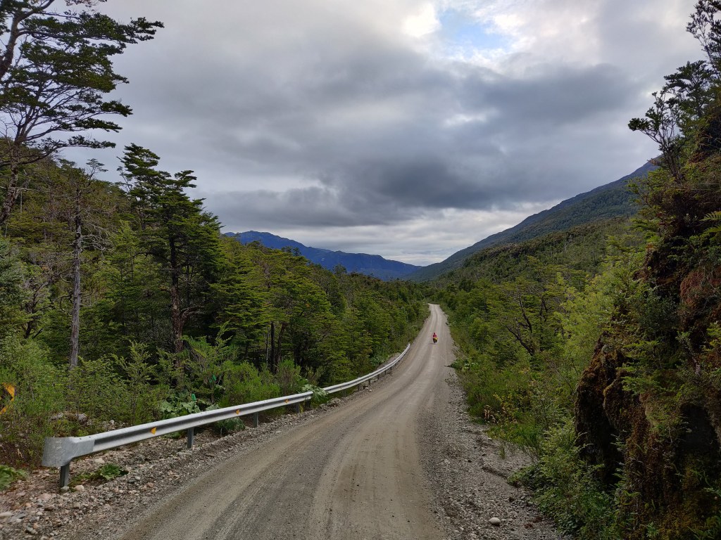
The next morning we struggled out of bed and admired the stunning surroundings in daylight, with glorious views over surrounding hills. We were relieved at having had a peaceful night but nervous about the day to come. Over breakfast however, we noticed some road leveller trucks passing by on the Carretera and took some hope that they may have improved conditions enough to make cycling feasible. We set off soon after 11am under cloudy skies and found to our delight that the road compaction had indeed made the road rideable, at least in the tracks of the heavy roller. The road also soon became damper as we continued west-southwest, further towards the maritime conditions of Puerto Yungay, which seemed to improve conditions further.
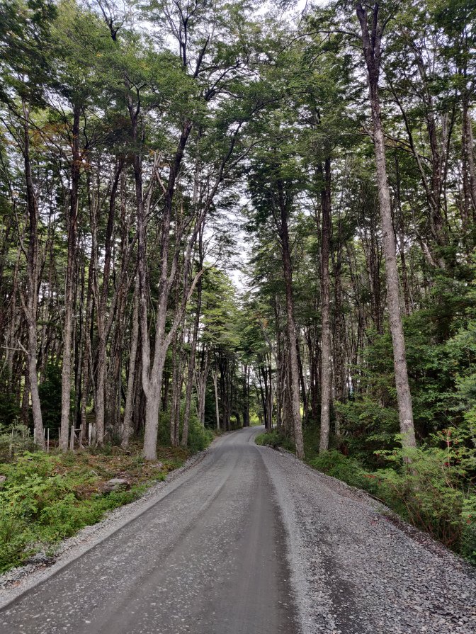
We were soon cycling fast enough to catch up with the road leveller and overtake it. Before long we were back in tall forest, not really seen since that of Queulat Park. It was lovely cool, fresh cycling as we arrived at Lago Vargas and then carried on down Rio Carrera.
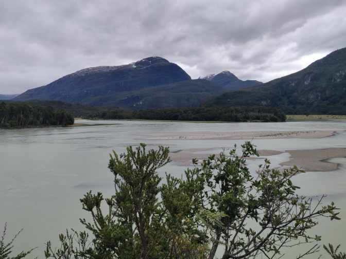
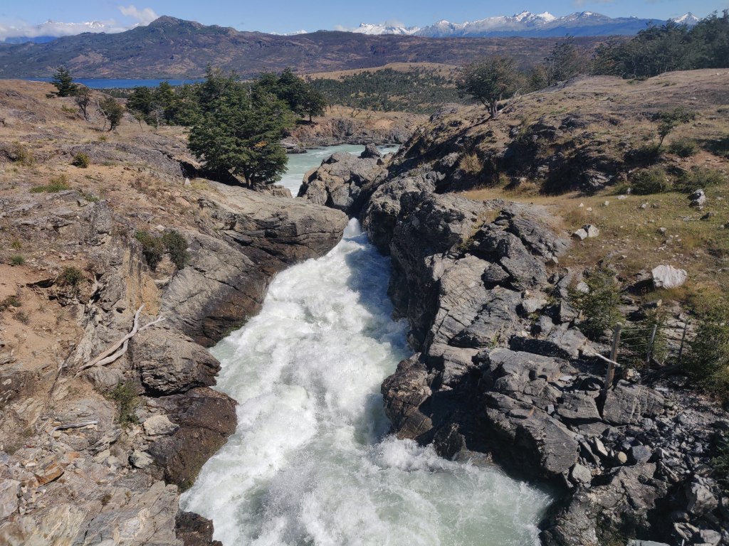
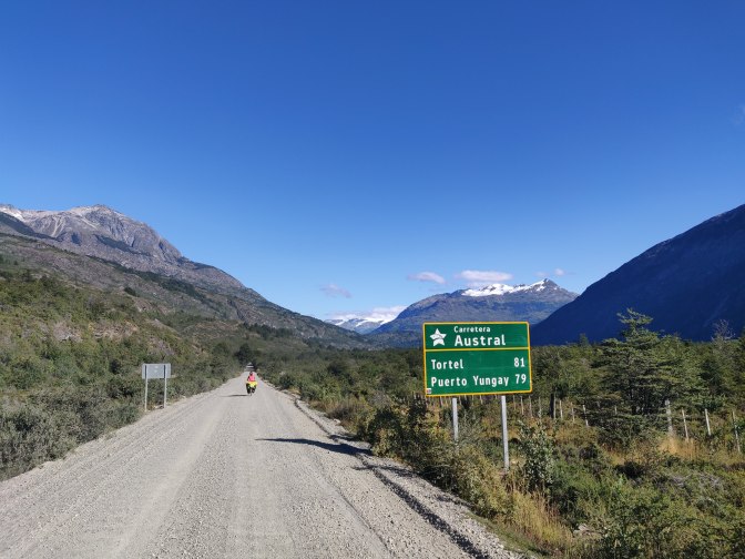
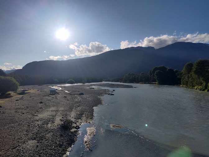
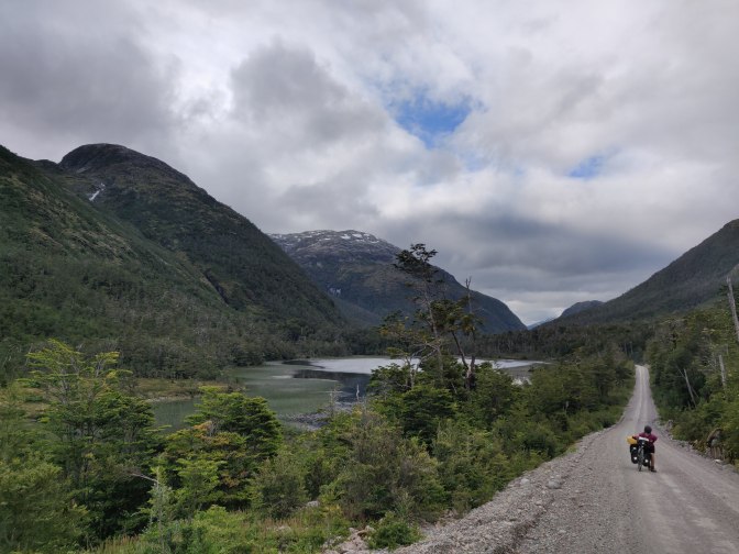
In the afternoon, we passed a spectacular waterfall cascading down to our left before rejoining the Rio Baker in its lower reaches. 41km after leaving camp this morning, we had made it to the Rio Vagabundo confluence and turn-off for Caleta Tortel, the coastal village famous for its wooden walkways and numerous staircases. Our route continued south, with just a 300m climb now between us and the Puerto Yungay ferry.

At the junction, we gained some phone signal and internet for the first time since Cochrane, and hurriedly downloaded a weather forecast. To our concern, the bad weather of Friday had now moved back to Saturday, with 42 knot gusts and over 2 inches of rain and snow forecast for Villa O’Higgins. The following Monday didn’t look too good either, which left Wednesday as the potential only ferry option from Villa O’Higgins back to the Argentina crossing. Well, it was Sunday today and we had made better progress than either of us expected, so we would try our best to make it to Villa O’Higgins on Tuesday.
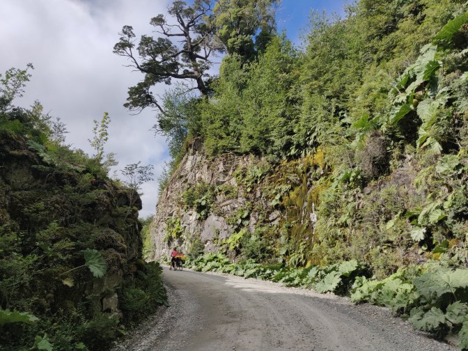
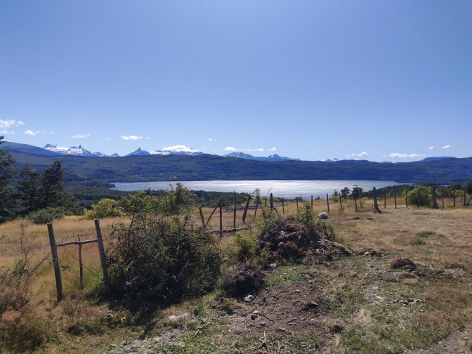
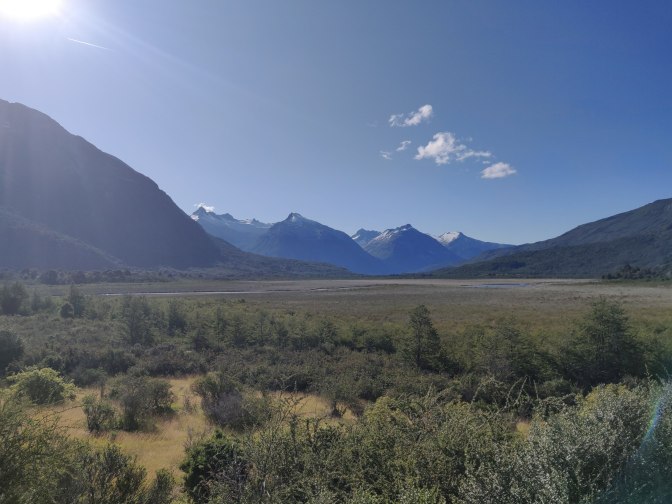
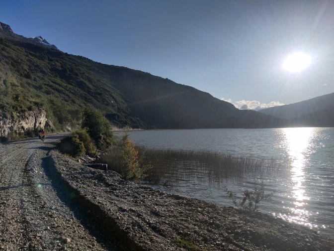
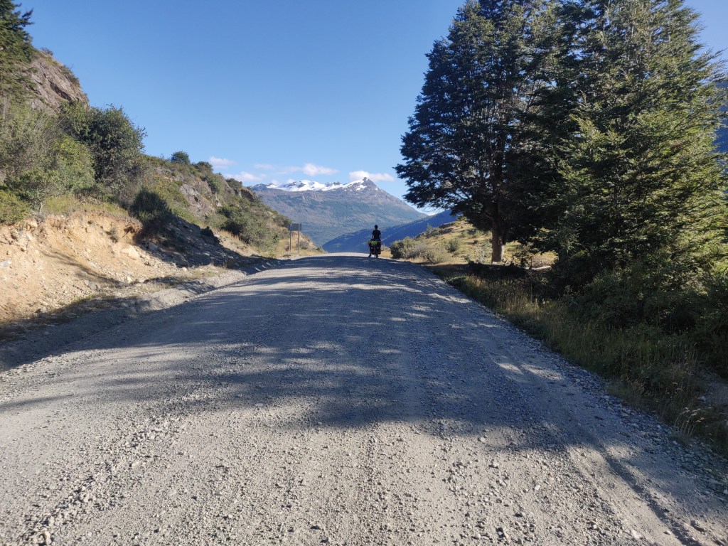
At 4pm, we set off up the Vagabundo valley. Mapsme and Bicycle Patagonia both predicted a 400m climb up and then only 250m descent, which didn’t seem to make sense as Yungay is at sea level. It soon became apparent that the ascent was not that bad because in fact we contoured up and around the incredibly steep gorge rather than going up-down-up it as Mapsme must have thought. It was tough going but stunningly beautiful with giant rhubarb lining the gorge walls, and the late afternoon sun emerging. We walked and cycled up the winding road until arriving at Lago Caiquen and the high point at 6.30 pm.
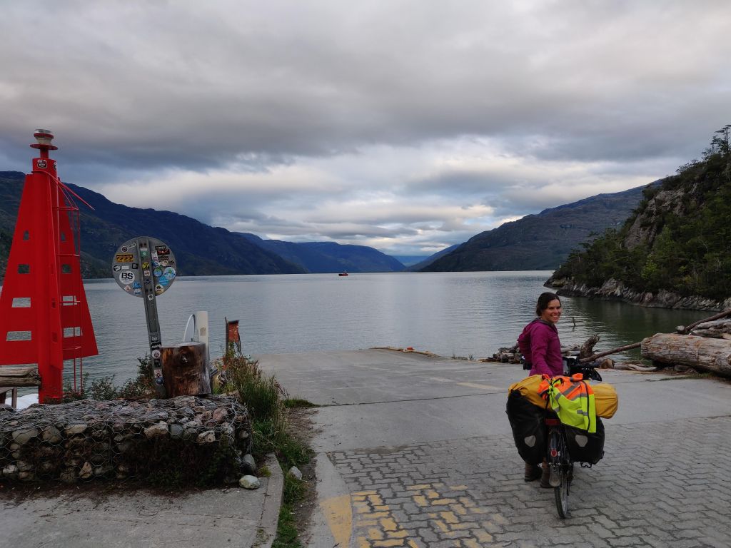
From there it was a cruisy 13km downhill on wonderfully pleasant ripio through the trees, past waterfalls, to Puerto Yungay, where we arrived soon after 7.30. The little village was sadly deserted after changing economics in recent years, partly driven perhaps by the road to Tortel, which reduced the need for ferries here. But as we rounded the final bend to the terminal we were delighted to see none other than Pablo and Marianne, their bicycles neatly parked inside the ferry building, chatting to a local lady outside. It turned out after leaving on Saturday they had hitched a ride to Tortel and spent the night with a couple there before hitching part-way back here today. Feeling rather pleased with ourselves for having cycled the whole way, we shared a carton of wine with them and pitched our tents inside the building. After the shenanigans of the previous evening, it was a great relief to feel safe and secure inside, even if the views were less spectacular.

Wow….looks like cycling in a gravel strewn waddi but with unfavourable gradients! Congrats
LikeLike